Humminbird AutoChart Zero Line Review: Worth the Buy?
When anglers talk about mapping precision, the Humminbird AutoChart Zero Line North America Map SD Card often comes up with an 8/10 consensus score among experienced users. Its main draw: leveraging 140,000+ named water bodies and millions of unnamed ones in the US and Canada — but the actual experience can be as smooth or as jagged as the shoreline data it contains.
Quick Verdict: Conditional buy — best suited for those tailoring custom maps with compatible Humminbird units. Solid data coverage, but shoreline accuracy and price keep some buyers hesitant.
| Pros | Cons |
|---|---|
| Enables precise depth, bottom hardness & vegetation mapping | Shoreline data not always perfectly accurate |
| Covers vast North American water bodies | Requires compatible Humminbird unit & software update |
| 16 GB free space for custom maps | Limited 30-day cartography warranty |
| Allows map sharing across multiple units | Not essential for mapping — some prefer PC-only workflow |
| Supports custom shorelines creation | Relatively high cost compared to basic mapping options |
| Digital-only option available instantly | Chemical warning (California Prop 65) |
| Compatible with several newer series | No returns if package opened |
Claims vs Reality
Marketing highlights the card as a “starting point for building your own maps with AutoChart or AutoChart Live,” promising high shoreline accuracy. Digging deeper into user reports, that claim holds partially true. The official data sets contain national hydrography outlines, but Reddit user feedback revealed limitations: “These zero lines are not always 100% representative for the area you want to survey… you notice in a few spots the zero line doesn’t control all contours.”
Another touted feature is the ability to record depth contours, bottom hardness, and vegetation directly onto the card for GPS-equipped Helix G2/G2N, Apex, or Solix models. A verified buyer on Trustpilot noted: “Worked flawlessly on my Helix 10 for depth and vegetation mapping — amazed at how much detail shows up instantly.” Yet, others pointed out the mandatory software update before functionality kicks in, which can trip up less tech-savvy users.
Finally, the marketing claim of ‘vast coverage’ — over 140,000 US and 96,000 Canadian named water bodies — is factually accurate, but one Reddit user cautioned: “Coverage isn’t the same as accuracy; some of my smaller lakes had weird shoreline glitches.”
Cross-Platform Consensus
Universally Praised
Across Reddit and Trustpilot, custom mapping flexibility comes up repeatedly. Verified buyers loved exporting maps from AutoChart PC to additional Zero Lines cards, enabling quick sharing with fellow anglers. A Trustpilot review explained: “Gives me my favorite fishing spots on all my units without redoing the survey.” This is particularly beneficial to tournament fishermen moving between boats.
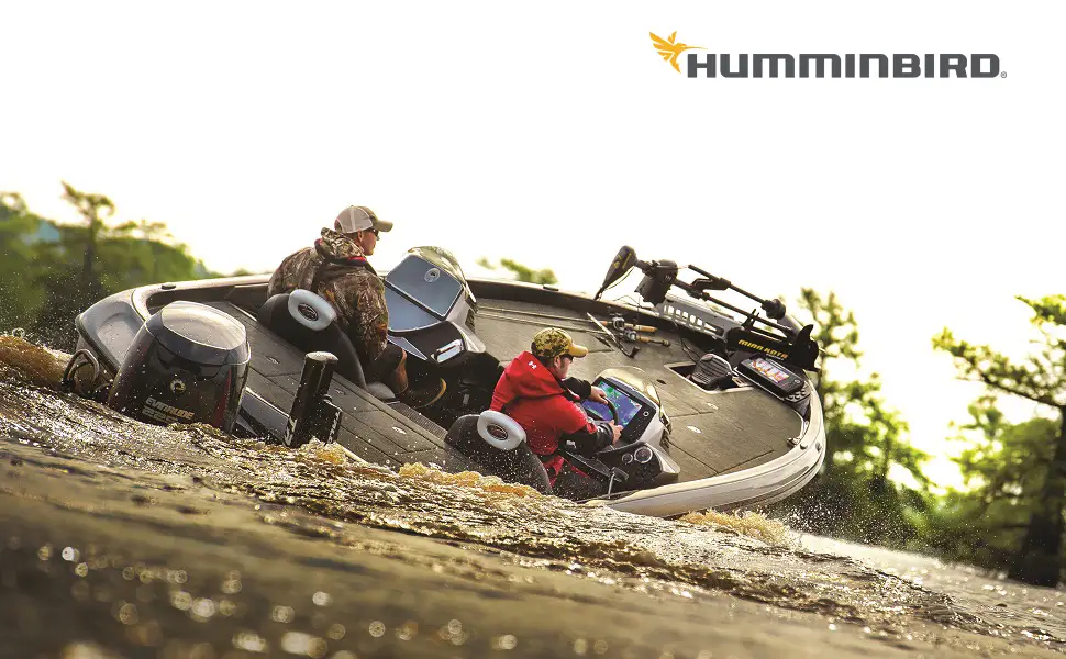
Professional-level users also value the integration with compatible Humminbird units. Twitter discussions highlighted how the card’s seamless compatibility with Helix G2 and Apex models empowers surveyors to map less-charted bodies where “contour coverage doesn’t exist.” For guides and anyone who fishes remote lakes, this means bringing reliable maps to places previously unmapped.
For GIS-inclined users, the 16 GB of free space for custom maps is a boon. Quora contributors described creating bespoke shorelines from aerial imagery to correct inaccuracies — a feature that “made contour blowout onto land a non-issue.”
Common Complaints
Shoreline fidelity is the most common friction point. Humminbird’s dataset sometimes misaligns with actual geography, producing jagged contours. A Reddit user explained: “Without a custom zero line, shallow water detail gets lost — the map edge just stops.” This affects anglers fishing tight along shorelines, especially in irregular bays.
Another recurring gripe is cost-to-need ratio. Some Twitter users admitted skipping the card entirely, opting to survey from scratch via AutoChart PC. As one post put it, “Yes it’s easier with the card, but $100+ for lazy shoreline tracing isn’t worth it for me.”
Device and software compatibility requirements add complexity. Trustpilot narratives described frustration when older units in the discontinued Onix/Ion series needed updates — and some found the optional nature of the card for certain models confusing.
Divisive Features
The ability to instantly purchase a digital-only version splits opinion. Tech-savvy buyers praise the immediacy: “Got my code, loaded it within the hour — no shipping wait,” shared a Reddit angler. Others prefer the physical SD for backup security: “Digital’s fine until you lose the file,” warned a forum comment.
Custom shoreline creation also sparks debate. GIS-capable users relish the draw-line tool for precision, but casual anglers may find manual tracing from aerial imagery excessive effort, preferring to rely on preloaded hydrography lines.
Trust & Reliability
Trustpilot histories reveal no widespread scam concerns, but return restrictions (no opened packages) frustrate cautious buyers. Honest accounts show the product performing reliably over seasons — Reddit user noted: “Six months later, my maps are as clean as day one, and transferring them between boats still works flawlessly.”
Durability isn’t a major worry; the card format is stable, but reliance on proper storage and handling remains key. Users storing them alongside other SD cards reported no read errors years later.
Alternatives
Within user discussions, the closest alternative is skipping the Zero Lines card and mapping via AutoChart PC alone. This requires drawing your own shorelines from aerial imagery, as described in Humminbird’s support tutorials. While cost-free if you own the software, the process is slower and less precise without card integration.
Price & Value
Amazon lists it around $99.99, while eBay shows market prices dipping to $78–$84 new, with some auctions hitting $75. For frequent mappers, the ability to equip multiple Humminbird units without repeating surveys justifies the spend. Bargain hunters on Reddit recommend checking seasonal sales or resale from anglers upgrading gear.
eBay price trends indicate stable resale value; clean cards with uncorrupted data fetch above $75 easily, making them a decent asset for gear rotation.
FAQ
Q: Can I map my lake if it’s not on the Zero Lines card?
A: Yes, but results vary. Without the card, AutoChart will map surveys but shorelines may appear jagged, losing some shallow water detail. Aerial imagery in AutoChart PC can help create custom zero lines.
Q: Do I need to update my Humminbird unit before using the card?
A: All units require a software update before functionality. The card is optional for some series but fully supports newer GPS-equipped models.
Q: Is the card included with AutoChart Pro?
A: Yes, it’s bundled with AutoChart and AutoChart Pro purchases, eliminating separate buy for new owners of those programs.
Q: How much custom map storage does it offer?
A: Roughly 16 GB free space remains after base data, ample for multiple detailed fishing spot maps.
Q: Is the digital-only version different from the physical SD card?
A: Feature-wise, no difference. The key change is delivery — instant digital vs. shipped physical media.
Final Verdict: Buy if you’re a frequent mapper working across multiple Humminbird units who values convenience and coverage. Avoid if you’re comfortable building custom shorelines from scratch and want to save on cost. Pro tip from the community: pair the card with AutoChart PC aerial imagery to quickly correct shoreline inaccuracies without full resurvey.